Day 28 Pakiri Beach to Dome Cafe
Distance Walked: 22km
Date 01 Nov 2022
Hitched 25Km
End of day Trail Marker: 495.4
Weather: Bright and Sunny
Note: Up, Up and away / Geographically displaced 3 times.

We are so very fortunate at a lot of the Holiday Parks, pay $20 and get a bunk room to yourself and we needed it to dry out all of our gear.

We were up and on Trail by 0600, it was going to be a long day.

A little bit of a warmup at 0624

At 0629 Jerome happened to ask about the elevation expectation for today, I didn’t happen to know but I did say I think were going over those hills in the distance.

As you can see we edged closer and closer to those hills.

Yes Jerome keep going up!

We kept getting higher, we started at the valley floor below.

Ah, now we can start to see the Sea below.

It’s 0752 and we are still going up, you can now see a glimpse of the beach where we started.

Whilst all of our navigational decisions are made democratically, Jerome I think that’s the wrong way.

That is a Trig point off int the distance, Oop’s there is no way out from here I think we should go back. A Trig Point is normally the highest point of elevation in a district.

Have a look at the view at 0830, the reward for some hard work.

Did I say that this was the F*#king worst mud day ever, Jerome was surveying the mess that was before us.
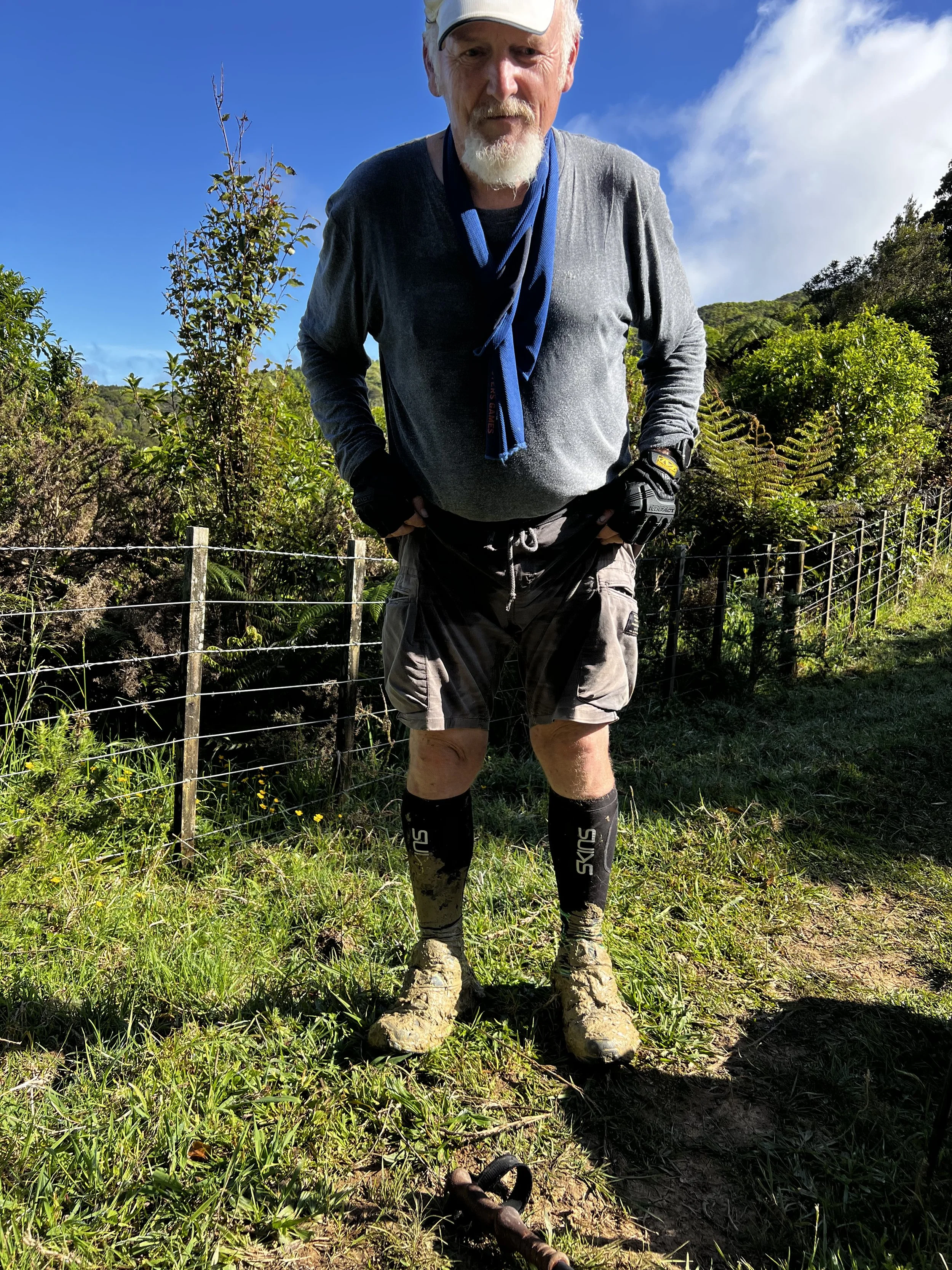
The mud was just a little deep as you can see, just to make things worse one of my trekking poles decided it needed to come apart and stay in the mud a number of times.

At 10:09 this was our view, our starting point was beyond what we could see.

So what would the day be without a little Forest to play in. This area is called the big Omaha. We were to learn why later in the day.

At 10:34 we could finally get a view of where we started out, just pick a spot down below and I’m sure you will be close.

We eventually came across a Weather Station, be careful or no babies in the future.

How did they know I was coming?

Just a little bit further on we came across the Helicopter Landing Pad that BOM use to do any servicing of the weather station. Jerome said I made a great Helicopter.

Not the best picture but you can see the water along with the mud.

Mud Brothers, The Big Omaha left nothing to the imagination. We dropped into a stream to clean up after 3 sections. It was now time to assess our ability to complete the last section to the Dome Cafe. We decided to walk the logging roads around the Forest, it was the same distance.

The Dome Cafe, Eat, Drink and unwind my but! It was popular BC (before Covid) and now it is only open randomly and we missed it.
Today was challenging to say the least, my trail runners are now stuffed, this will need to be addressed tomorrow.
We will hitch down to Warkworth which is the closest town with some options.
Good night